
Underground Storage Tanks
UST Location Services Conducted Nationwide
Email us at: geomodel@geomodel.com / 703-777-9788
GeoModel, Inc. conducts surveys for locating underground storage tanks (USTs) using various geophysical methods. The most common methods used to locate USTs are ground penetrating radar (GPR) and electromagnetic (terrain) conductivity (EM).
Ground Penetrating Radar Surveys
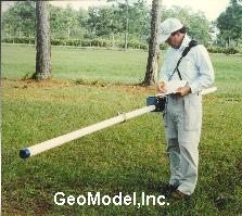
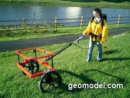
GeoModel, Inc. has conducted ground penetrating radar (GPR) surveys at numerous sites for locating USTs using a GPR digital control unit and various transducers (antennas).
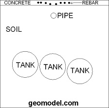
The underground storage tank can be made of metal, fiberglass, or any other material that has different electrical or conductive properties than the surrounding subsurface soils or rocks.
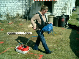

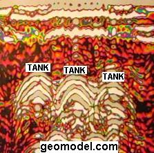
Ground penetrating radar operator conducting GPR survey with a 400-MHz antenna (above left), and locations of underground storage tanks (USTs), located using GPR, painted on the ground (above right)
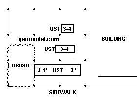
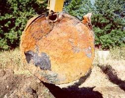
AutoCAD map or .pdf drawing of locations of USTs (above left), and UST being removed from ground (above right).
Electromagnetic Conductivity (Metal Detection) Surveys
GeoModel, Inc. has conducted numerous electromagnetic conductivity (EM) and metal detection surveys to locate metal USTs. Geophysicists operating the EM instruments and a contour map indicating the location of a steel UST are shown below:
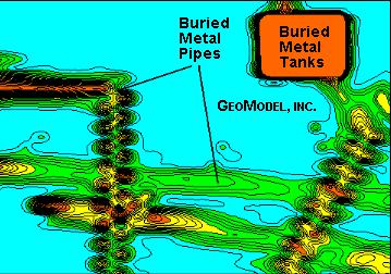
EM Contour Map Showing USTs
GeoModel, Inc. uses the new EM metal detector, for locating undedrground storage tanks, which is more accurate than the standard EM metal detector.
Other buried metal objects, such as buried drums and buried utility lines, can also be easily located with the EM instruments.
Company Background
GeoModel, Inc. was founded in 1991 as a geophysical services, underground storage tank location, and environmental consulting firm. The company principals have over 50 years of combined experience and have conducted numerous surveys to locate USTs worldwide. All projects are conducted or supervised by registered professional geologists.
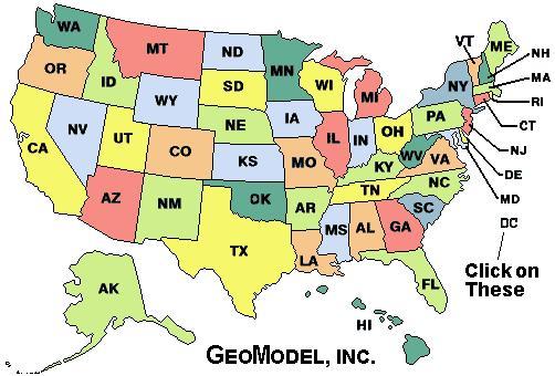
For a ground penetrating radar survey, click on your state below:
e-mail: ![]() geomodel@geomodel.com
geomodel@geomodel.com
 [Back to Top of page][Back to GPR Applications]